Approaching Glyncorrwg
Introduction
The photograph on this page of Approaching Glyncorrwg by Jeremy Bolwell as part of the Geograph project.
The Geograph project started in 2005 with the aim of publishing, organising and preserving representative images for every square kilometre of Great Britain, Ireland and the Isle of Man.

There are currently over 7.5m images from over 14,400 individuals and you can help contribute to the project by visiting https://www.geograph.org.uk
Approaching Glyncorrwg
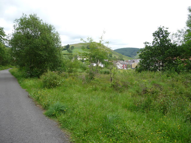
Image: © Jeremy Bolwell Taken: 24 Jun 2011
From the path the roofs and buildings of the village emerge. It looks like a nice situation in the head of the valley.
Images are licensed for reuse under creativecommons.org/licenses/by-sa/2.0
Image Location
Latitude
51.68146
Longitude
-3.626297