NCN milepost
Introduction
The photograph on this page of NCN milepost by Stephen Craven as part of the Geograph project.
The Geograph project started in 2005 with the aim of publishing, organising and preserving representative images for every square kilometre of Great Britain, Ireland and the Isle of Man.

There are currently over 7.5m images from over 14,400 individuals and you can help contribute to the project by visiting https://www.geograph.org.uk
NCN milepost
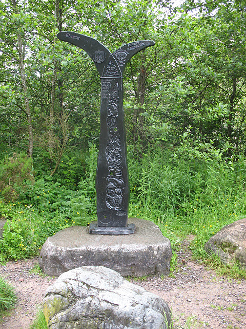
Image: © Stephen Craven Taken: 21 Jun 2011
A typical Sustrans milepost, this one on route 71 points left to Keswick and right to Penrith and Sunderland. The trees behind it have grown a lot since the previous photo in 2005 Image so that the viaduct behind is no longer visible.
Images are licensed for reuse under creativecommons.org/licenses/by-sa/2.0
Image Location
Latitude
54.605498
Longitude
-3.113518