Kennel Lane, Newtownards
Introduction
The photograph on this page of Kennel Lane, Newtownards by Albert Bridge as part of the Geograph project.
The Geograph project started in 2005 with the aim of publishing, organising and preserving representative images for every square kilometre of Great Britain, Ireland and the Isle of Man.

There are currently over 7.5m images from over 14,400 individuals and you can help contribute to the project by visiting https://www.geograph.org.uk
Kennel Lane, Newtownards
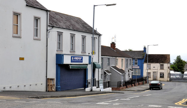
Image: © Albert Bridge Taken: 26 Jun 2011
A street, once a lane of tightly-packed houses, running from Frances Street to Movilla Street (background). The Google map is not accurate.
Images are licensed for reuse under creativecommons.org/licenses/by-sa/2.0
Image Location
Latitude
54.592837
Longitude
-5.692166