A350, Sturminster Marshall
Introduction
The photograph on this page of A350, Sturminster Marshall by Maigheach-gheal as part of the Geograph project.
The Geograph project started in 2005 with the aim of publishing, organising and preserving representative images for every square kilometre of Great Britain, Ireland and the Isle of Man.

There are currently over 7.5m images from over 14,400 individuals and you can help contribute to the project by visiting https://www.geograph.org.uk
A350, Sturminster Marshall
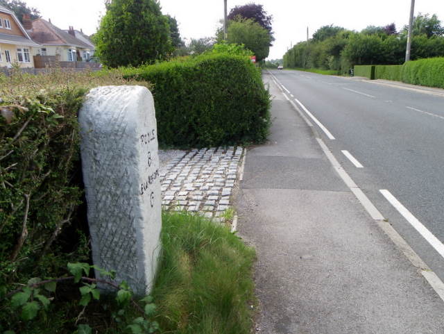
Image: © Maigheach-gheal Taken: 25 Jun 2011
Beside the A350, Blandford Road is a milestone indicating the distances to Poole and Blandford. For a closer view of the milestone Image
Images are licensed for reuse under creativecommons.org/licenses/by-sa/2.0
Image Location
Latitude
50.793869
Longitude
-2.078833