Ruined steading, Newhouse
Introduction
The photograph on this page of Ruined steading, Newhouse by Richard Webb as part of the Geograph project.
The Geograph project started in 2005 with the aim of publishing, organising and preserving representative images for every square kilometre of Great Britain, Ireland and the Isle of Man.

There are currently over 7.5m images from over 14,400 individuals and you can help contribute to the project by visiting https://www.geograph.org.uk
Ruined steading, Newhouse
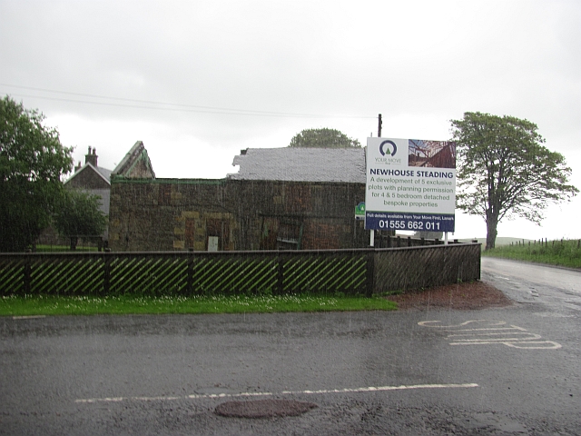
Image: © Richard Webb Taken: 23 Jun 2011
A ruined farm (with very intact and tidy farmhouse) which has planning permission for yet more expensive houses. No sign of development. Taken from the shelter of the caravan park sign which had a roof. The rain was very heavy. The A70 was closed for resurfacing.
Images are licensed for reuse under creativecommons.org/licenses/by-sa/2.0
Image Location
Latitude
55.692419
Longitude
-3.707718