A684, Aiskew
Introduction
The photograph on this page of A684, Aiskew by David Dixon as part of the Geograph project.
The Geograph project started in 2005 with the aim of publishing, organising and preserving representative images for every square kilometre of Great Britain, Ireland and the Isle of Man.

There are currently over 7.5m images from over 14,400 individuals and you can help contribute to the project by visiting https://www.geograph.org.uk
A684, Aiskew
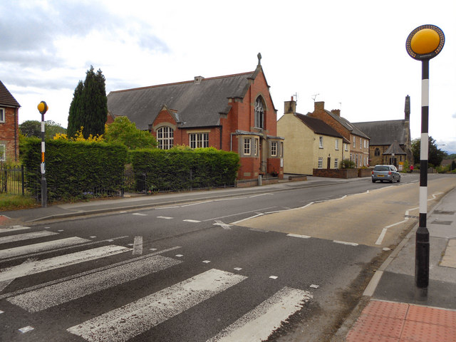
Image: © David Dixon Taken: 18 Jun 2011
The A684 approaching Bedale. Image] and Image] can be seen on the opposite side of the road.
Images are licensed for reuse under creativecommons.org/licenses/by-sa/2.0
Image Location
Latitude
54.291321
Longitude
-1.585327