Fields east of Cowbyers
Introduction
The photograph on this page of Fields east of Cowbyers by Trevor Littlewood as part of the Geograph project.
The Geograph project started in 2005 with the aim of publishing, organising and preserving representative images for every square kilometre of Great Britain, Ireland and the Isle of Man.

There are currently over 7.5m images from over 14,400 individuals and you can help contribute to the project by visiting https://www.geograph.org.uk
Fields east of Cowbyers
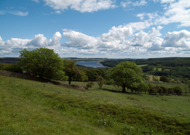
Image: © Trevor Littlewood Taken: 24 Jun 2011
Cowbyers is a farm beside the B6306 north-east of Blanchland; the image records the view from that road, south of the farm. In the distance lies Derwent Reservoir.
Images are licensed for reuse under creativecommons.org/licenses/by-sa/2.0
Image Location


Leaflet Map data © OpenStreetMap
Latitude
54.855498
Longitude
-2.04