Railway station approach, Llanbradach
Introduction
The photograph on this page of Railway station approach, Llanbradach by Jaggery as part of the Geograph project.
The Geograph project started in 2005 with the aim of publishing, organising and preserving representative images for every square kilometre of Great Britain, Ireland and the Isle of Man.

There are currently over 7.5m images from over 14,400 individuals and you can help contribute to the project by visiting https://www.geograph.org.uk
Railway station approach, Llanbradach
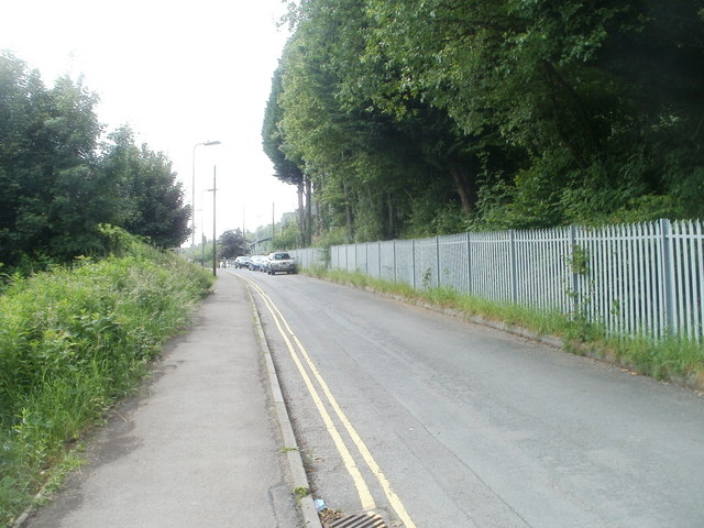
Image: © Jaggery Taken: 22 Jun 2011
View from the T-junction at the western end of Station Road. The road to the station is named Plas Cae Llwyd.
Images are licensed for reuse under creativecommons.org/licenses/by-sa/2.0
Image Location
Latitude
51.603254
Longitude
-3.233048