Canal Way, Ilminster
Introduction
The photograph on this page of Canal Way, Ilminster by Richard Webb as part of the Geograph project.
The Geograph project started in 2005 with the aim of publishing, organising and preserving representative images for every square kilometre of Great Britain, Ireland and the Isle of Man.

There are currently over 7.5m images from over 14,400 individuals and you can help contribute to the project by visiting https://www.geograph.org.uk
Canal Way, Ilminster
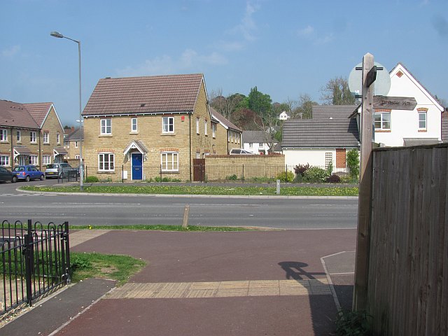
Image: © Richard Webb Taken: 20 Apr 2011
A residential road either on or near the site of the Chard Canal. The foreground is the Sustrans cycle path which connects with the path along the disused Chard Branch railway.
Images are licensed for reuse under creativecommons.org/licenses/by-sa/2.0
Image Location
Latitude
50.927744
Longitude
-2.922545