Wollaton Park wall
Introduction
The photograph on this page of Wollaton Park wall by John Sutton as part of the Geograph project.
The Geograph project started in 2005 with the aim of publishing, organising and preserving representative images for every square kilometre of Great Britain, Ireland and the Isle of Man.

There are currently over 7.5m images from over 14,400 individuals and you can help contribute to the project by visiting https://www.geograph.org.uk
Wollaton Park wall
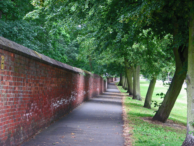
Image: © John Sutton Taken: 22 Jun 2011
The 7m/11k-long brick wall circling Wollaton Park dates from the early years of the 19th century. Large parts of it still stand, including this stretch seen from outside the Wollaton Road entrance to the park.
Images are licensed for reuse under creativecommons.org/licenses/by-sa/2.0
Image Location
Latitude
52.953248
Longitude
-1.21406