Whittemore Farm, Whittemore Lane
Introduction
The photograph on this page of Whittemore Farm, Whittemore Lane by Mick Malpass as part of the Geograph project.
The Geograph project started in 2005 with the aim of publishing, organising and preserving representative images for every square kilometre of Great Britain, Ireland and the Isle of Man.

There are currently over 7.5m images from over 14,400 individuals and you can help contribute to the project by visiting https://www.geograph.org.uk
Whittemore Farm, Whittemore Lane
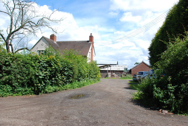
Image: © Mick Malpass Taken: 22 Jun 2011
The lane that this farm stands on has a variety of names depending on which map is used.
Images are licensed for reuse under creativecommons.org/licenses/by-sa/2.0
Image Location


Leaflet Map data © OpenStreetMap
Latitude
52.742548
Longitude
-2.127048