Woodland north of Sparrite Farm
Introduction
The photograph on this page of Woodland north of Sparrite Farm by Robin Webster as part of the Geograph project.
The Geograph project started in 2005 with the aim of publishing, organising and preserving representative images for every square kilometre of Great Britain, Ireland and the Isle of Man.

There are currently over 7.5m images from over 14,400 individuals and you can help contribute to the project by visiting https://www.geograph.org.uk
Woodland north of Sparrite Farm
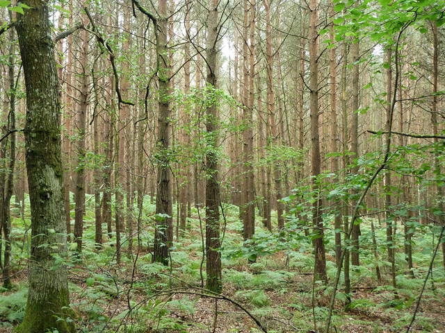
Image: © Robin Webster Taken: 21 Jun 2011
Viewed from a road with no apparent name, the plantation of conifers itself has no specific name either.
Images are licensed for reuse under creativecommons.org/licenses/by-sa/2.0
Image Location
Latitude
50.932136
Longitude
-0.502773