Tyne Riverside Park and Cycle Path, Prudhoe
Introduction
The photograph on this page of Tyne Riverside Park and Cycle Path, Prudhoe by Oliver Dixon as part of the Geograph project.
The Geograph project started in 2005 with the aim of publishing, organising and preserving representative images for every square kilometre of Great Britain, Ireland and the Isle of Man.

There are currently over 7.5m images from over 14,400 individuals and you can help contribute to the project by visiting https://www.geograph.org.uk
Tyne Riverside Park and Cycle Path, Prudhoe
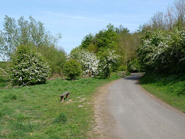
Image: © Oliver Dixon Taken: 4 May 2011
The linear Tyne Riverside Park incorporates a cycle and foot path - here on the south bank of the river - which forms part of National Cycle Network route 72, otherwise known as Hadrian's Cycleway.
Images are licensed for reuse under creativecommons.org/licenses/by-sa/2.0
Image Location
Latitude
54.969818
Longitude
-1.858604