Glenlee Street
Introduction
The photograph on this page of Glenlee Street by Richard Webb as part of the Geograph project.
The Geograph project started in 2005 with the aim of publishing, organising and preserving representative images for every square kilometre of Great Britain, Ireland and the Isle of Man.

There are currently over 7.5m images from over 14,400 individuals and you can help contribute to the project by visiting https://www.geograph.org.uk
Glenlee Street
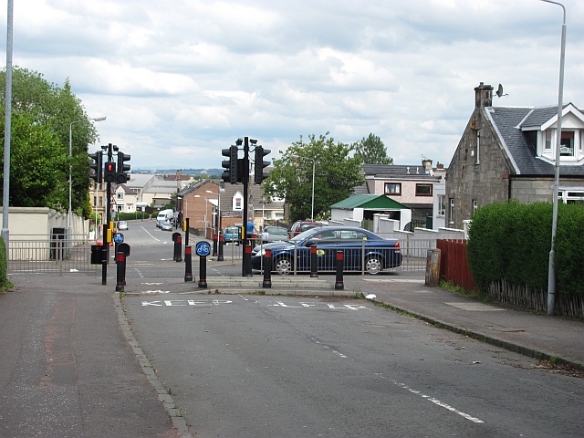
Image: © Richard Webb Taken: 20 Jun 2011
The junction with High Blantyre Road has been blocked off on either side.
Images are licensed for reuse under creativecommons.org/licenses/by-sa/2.0
Image Location
Latitude
55.781463
Longitude
-4.076315