Merryfields School, Wolstanton
Introduction
The photograph on this page of Merryfields School, Wolstanton by Carl Farnell as part of the Geograph project.
The Geograph project started in 2005 with the aim of publishing, organising and preserving representative images for every square kilometre of Great Britain, Ireland and the Isle of Man.

There are currently over 7.5m images from over 14,400 individuals and you can help contribute to the project by visiting https://www.geograph.org.uk
Merryfields School, Wolstanton
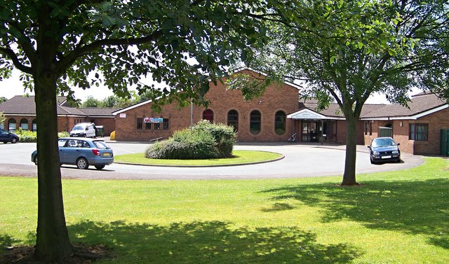
Image: © Carl Farnell Taken: 20 Jun 2011
Hoon Avenue, Newcastle-under-Lyme. ST5 9NY
Images are licensed for reuse under creativecommons.org/licenses/by-sa/2.0
Image Location
Latitude
53.025115
Longitude
-2.226278