Waymarker on Tank Hill
Introduction
The photograph on this page of Waymarker on Tank Hill by Colin Smith as part of the Geograph project.
The Geograph project started in 2005 with the aim of publishing, organising and preserving representative images for every square kilometre of Great Britain, Ireland and the Isle of Man.

There are currently over 7.5m images from over 14,400 individuals and you can help contribute to the project by visiting https://www.geograph.org.uk
Waymarker on Tank Hill
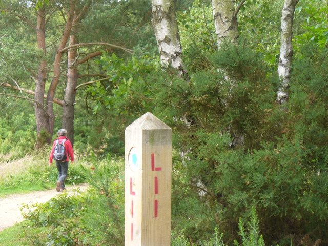
Image: © Colin Smith Taken: 19 Jun 2011
There are many such helpful posts on Chobham Common - but you can't beat a good map for finding your way about!
Images are licensed for reuse under creativecommons.org/licenses/by-sa/2.0
Image Location
Latitude
51.375178
Longitude
-0.59512