Former Chesterfield fire station
Introduction
The photograph on this page of Former Chesterfield fire station by Andrew Hill as part of the Geograph project.
The Geograph project started in 2005 with the aim of publishing, organising and preserving representative images for every square kilometre of Great Britain, Ireland and the Isle of Man.

There are currently over 7.5m images from over 14,400 individuals and you can help contribute to the project by visiting https://www.geograph.org.uk
Former Chesterfield fire station
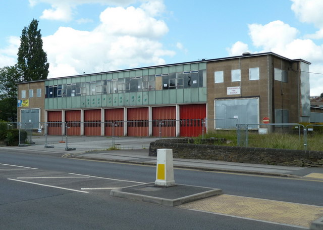
Image: © Andrew Hill Taken: 20 Jun 2011
The station has closed since the Geograph submission in 2009 Image The new premises are just south of the town centre.
Images are licensed for reuse under creativecommons.org/licenses/by-sa/2.0
Image Location
Latitude
53.253988
Longitude
-1.428147