Undeveloped land, Meikle Earnock
Introduction
The photograph on this page of Undeveloped land, Meikle Earnock by Richard Webb as part of the Geograph project.
The Geograph project started in 2005 with the aim of publishing, organising and preserving representative images for every square kilometre of Great Britain, Ireland and the Isle of Man.

There are currently over 7.5m images from over 14,400 individuals and you can help contribute to the project by visiting https://www.geograph.org.uk
Undeveloped land, Meikle Earnock
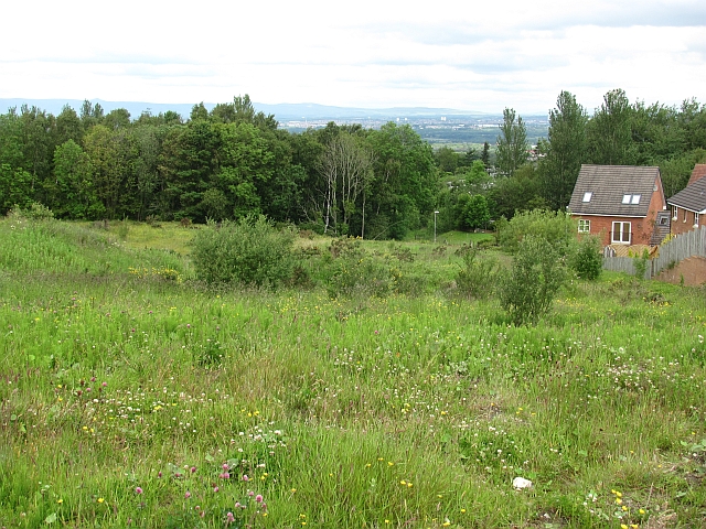
Image: © Richard Webb Taken: 20 Jun 2011
A former field which awaits the house builder. Looking downhill from Stewart Avenue in the Torheads Farm development.
Images are licensed for reuse under creativecommons.org/licenses/by-sa/2.0
Image Location
Latitude
55.757588
Longitude
-4.069149