Farmland near Buttercrambe Moor
Introduction
The photograph on this page of Farmland near Buttercrambe Moor by Andy Beecroft as part of the Geograph project.
The Geograph project started in 2005 with the aim of publishing, organising and preserving representative images for every square kilometre of Great Britain, Ireland and the Isle of Man.

There are currently over 7.5m images from over 14,400 individuals and you can help contribute to the project by visiting https://www.geograph.org.uk
Farmland near Buttercrambe Moor
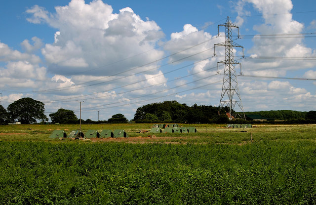
Image: © Andy Beecroft Taken: 20 Jun 2011
This is typical scenery for this part of the Vale of York. The free-range pigs seemed happy with their lot. I managed to access this private land by buying some fresh asparagus and strawberries from the Low Moor Farm shop (the produce was second to none and worth the detour!). I asked the farmer for permission to take this photograph on land just east of the farm after explaining the purpose behind 'Geograph' and he duly obliged. Thanks!
Images are licensed for reuse under creativecommons.org/licenses/by-sa/2.0
Image Location
Latitude
54.018055
Longitude
-0.914831