Llangenny Lane, Crickhowell
Introduction
The photograph on this page of Llangenny Lane, Crickhowell by Jaggery as part of the Geograph project.
The Geograph project started in 2005 with the aim of publishing, organising and preserving representative images for every square kilometre of Great Britain, Ireland and the Isle of Man.

There are currently over 7.5m images from over 14,400 individuals and you can help contribute to the project by visiting https://www.geograph.org.uk
Llangenny Lane, Crickhowell
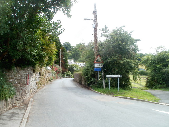
Image: © Jaggery Taken: 19 Jun 2011
Viewed from the corner of the A40. Signs warn of a 25% (1 in 4) gradient ahead, and state that the route is unsuitable for HGVs (Heavy Goods Vehicles).
Images are licensed for reuse under creativecommons.org/licenses/by-sa/2.0
Image Location


Leaflet Map data © OpenStreetMap
Latitude
51.856016
Longitude
-3.133948