Camberley: Gibbet Lane
Introduction
The photograph on this page of Camberley: Gibbet Lane by Nigel Cox as part of the Geograph project.
The Geograph project started in 2005 with the aim of publishing, organising and preserving representative images for every square kilometre of Great Britain, Ireland and the Isle of Man.

There are currently over 7.5m images from over 14,400 individuals and you can help contribute to the project by visiting https://www.geograph.org.uk
Camberley: Gibbet Lane
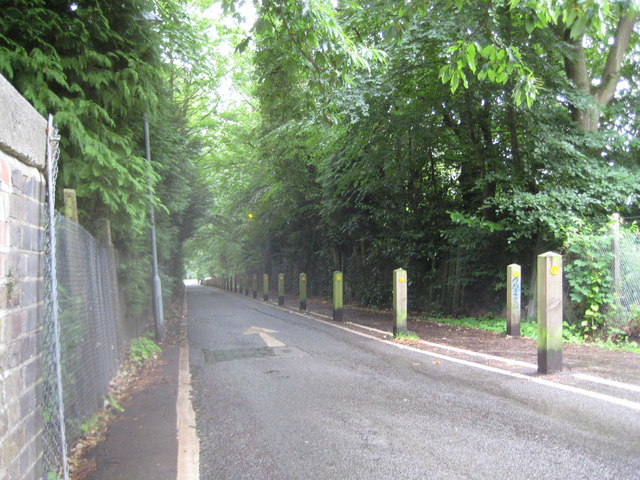
Image: © Nigel Cox Taken: 12 Jun 2011
Massed ranks of wooden posts separate the one-way southbound road and the pedestrian and cycle way. This is the view from the railway bridge.
Images are licensed for reuse under creativecommons.org/licenses/by-sa/2.0
Image Location
Latitude
51.344765
Longitude
-0.718957