Mirk Gill Bridge
Introduction
The photograph on this page of Mirk Gill Bridge by Matthew Hatton as part of the Geograph project.
The Geograph project started in 2005 with the aim of publishing, organising and preserving representative images for every square kilometre of Great Britain, Ireland and the Isle of Man.

There are currently over 7.5m images from over 14,400 individuals and you can help contribute to the project by visiting https://www.geograph.org.uk
Mirk Gill Bridge
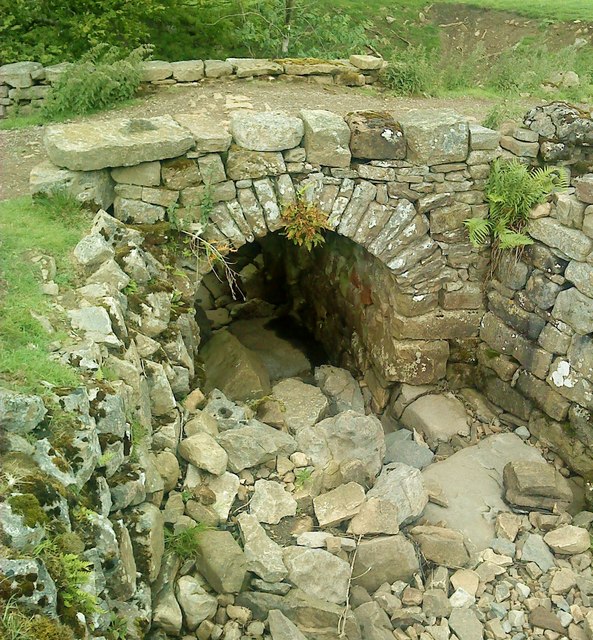
Image: © Matthew Hatton Taken: 19 Jun 2011
19thC stone arched bridge on the footpath between Low Houses and Crackpot.
Images are licensed for reuse under creativecommons.org/licenses/by-sa/2.0
Image Location
Latitude
54.370307
Longitude
-2.030596