Weatherfield Community Special School
Introduction
The photograph on this page of Weatherfield Community Special School by M J Richardson as part of the Geograph project.
The Geograph project started in 2005 with the aim of publishing, organising and preserving representative images for every square kilometre of Great Britain, Ireland and the Isle of Man.

There are currently over 7.5m images from over 14,400 individuals and you can help contribute to the project by visiting https://www.geograph.org.uk
Weatherfield Community Special School
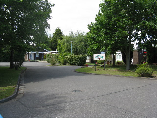
Image: © M J Richardson Taken: 19 Jun 2011
At the end of Brewers Hill Road on the western outskirts of Dunstable.
Images are licensed for reuse under creativecommons.org/licenses/by-sa/2.0
Image Location
Latitude
51.887891
Longitude
-0.54301