Fields in Ponterwyd
Introduction
The photograph on this page of Fields in Ponterwyd by David Purchase as part of the Geograph project.
The Geograph project started in 2005 with the aim of publishing, organising and preserving representative images for every square kilometre of Great Britain, Ireland and the Isle of Man.

There are currently over 7.5m images from over 14,400 individuals and you can help contribute to the project by visiting https://www.geograph.org.uk
Fields in Ponterwyd
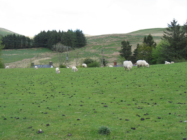
Image: © David Purchase Taken: 8 May 2011
The main A44 road from Aberystwyth east to Llangurig, Rhayader, Kington and Leominster runs through the dip in the centre of this photo.
Images are licensed for reuse under creativecommons.org/licenses/by-sa/2.0
Image Location
Latitude
52.413176
Longitude
-3.835854