Martletts
Introduction
The photograph on this page of Martletts by Simon Carey as part of the Geograph project.
The Geograph project started in 2005 with the aim of publishing, organising and preserving representative images for every square kilometre of Great Britain, Ireland and the Isle of Man.

There are currently over 7.5m images from over 14,400 individuals and you can help contribute to the project by visiting https://www.geograph.org.uk
Martletts
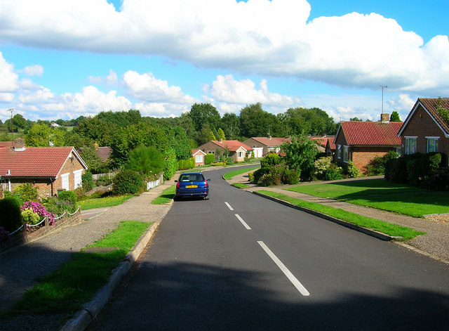
Image: © Simon Carey Taken: 23 Sep 2006
Residential close of Mill Road in West Chiltington Common. This part of the village is the newer 20th century area built up on the old common and making use of the lanes that crossed it.
Images are licensed for reuse under creativecommons.org/licenses/by-sa/2.0
Image Location
Latitude
50.946756
Longitude
-0.458316