True Lovers' Walk, Yarm
Introduction
The photograph on this page of True Lovers' Walk, Yarm by Pauline E as part of the Geograph project.
The Geograph project started in 2005 with the aim of publishing, organising and preserving representative images for every square kilometre of Great Britain, Ireland and the Isle of Man.

There are currently over 7.5m images from over 14,400 individuals and you can help contribute to the project by visiting https://www.geograph.org.uk
True Lovers' Walk, Yarm
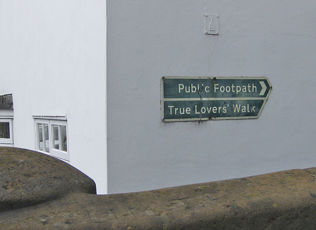
Image: © Pauline E Taken: 16 Jun 2011
Sign pointing the way to the riverside path. Named after an unidentified couple and occupants of a tomb which would have been inside the previous church building. Who they were remains a mystery. In the absence of identification, they became known as "The True Lovers", and the nearby riverside path became known as "The True Lovers' Walk". That's the story anyway.
Images are licensed for reuse under creativecommons.org/licenses/by-sa/2.0
Image Location
Latitude
54.511403
Longitude
-1.356365