Hardington Mandeville
Introduction
The photograph on this page of Hardington Mandeville by Nigel Mykura as part of the Geograph project.
The Geograph project started in 2005 with the aim of publishing, organising and preserving representative images for every square kilometre of Great Britain, Ireland and the Isle of Man.

There are currently over 7.5m images from over 14,400 individuals and you can help contribute to the project by visiting https://www.geograph.org.uk
Hardington Mandeville
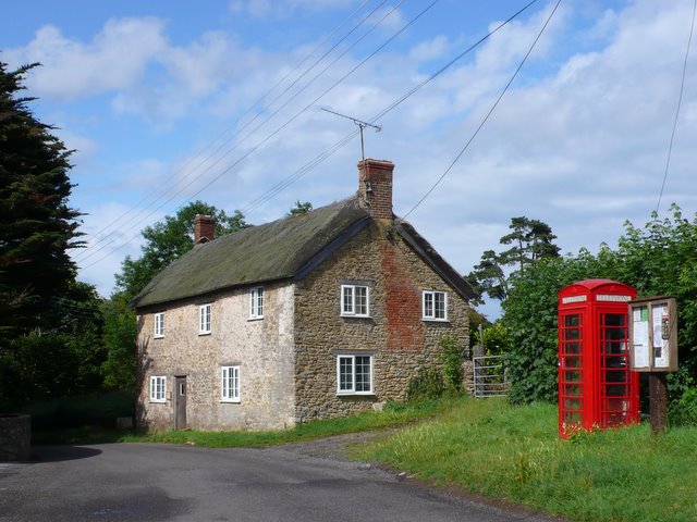
Image: © Nigel Mykura Taken: 16 Jun 2011
This cottage and phone box stand in the middle of the village on the main street that runs north-south through the village.
Images are licensed for reuse under creativecommons.org/licenses/by-sa/2.0
Image Location
Latitude
50.903871
Longitude
-2.695094