Path, Hogganfield Park
Introduction
The photograph on this page of Path, Hogganfield Park by Richard Webb as part of the Geograph project.
The Geograph project started in 2005 with the aim of publishing, organising and preserving representative images for every square kilometre of Great Britain, Ireland and the Isle of Man.

There are currently over 7.5m images from over 14,400 individuals and you can help contribute to the project by visiting https://www.geograph.org.uk
Path, Hogganfield Park
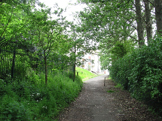
Image: © Richard Webb Taken: 16 Jun 2011
The path links Hogganfield Loch with Ruchazie. The security fence on the left protects a large covered reservoir, and the one on the right surrounds a golf course.
Images are licensed for reuse under creativecommons.org/licenses/by-sa/2.0
Image Location
Latitude
55.872999
Longitude
-4.167359