Houses on Queen Street
Introduction
The photograph on this page of Houses on Queen Street by Alan Murray-Rust as part of the Geograph project.
The Geograph project started in 2005 with the aim of publishing, organising and preserving representative images for every square kilometre of Great Britain, Ireland and the Isle of Man.

There are currently over 7.5m images from over 14,400 individuals and you can help contribute to the project by visiting https://www.geograph.org.uk
Houses on Queen Street
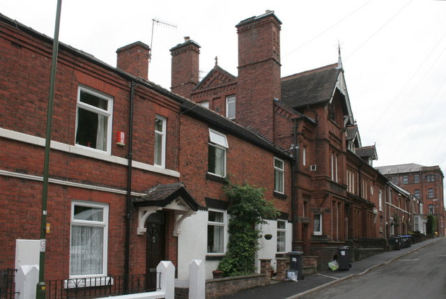
Image: © Alan Murray-Rust Taken: 16 May 2011
The large house (No.29) and its immediate neighbours beyond (29a and 29b) were built by local architect William Larner Sugden for himself and other members of his family. Grade II listed.
Images are licensed for reuse under creativecommons.org/licenses/by-sa/2.0
Image Location
Latitude
53.10641
Longitude
-2.019676