2011 : Farm on Bodden Lane
Introduction
The photograph on this page of 2011 : Farm on Bodden Lane by Maurice Pullin as part of the Geograph project.
The Geograph project started in 2005 with the aim of publishing, organising and preserving representative images for every square kilometre of Great Britain, Ireland and the Isle of Man.

There are currently over 7.5m images from over 14,400 individuals and you can help contribute to the project by visiting https://www.geograph.org.uk
2011 : Farm on Bodden Lane
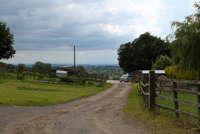
Image: © Maurice Pullin Taken: 11 Jun 2011
To the north of Ingsdons Hill, with some fine views west toward Glastonbury. Bits of Shepton Mallet are just visible.
Images are licensed for reuse under creativecommons.org/licenses/by-sa/2.0
Image Location
Latitude
51.193528
Longitude
-2.518989