Footpath near The Roundabout
Introduction
The photograph on this page of Footpath near The Roundabout by Richard Law as part of the Geograph project.
The Geograph project started in 2005 with the aim of publishing, organising and preserving representative images for every square kilometre of Great Britain, Ireland and the Isle of Man.

There are currently over 7.5m images from over 14,400 individuals and you can help contribute to the project by visiting https://www.geograph.org.uk
Footpath near The Roundabout
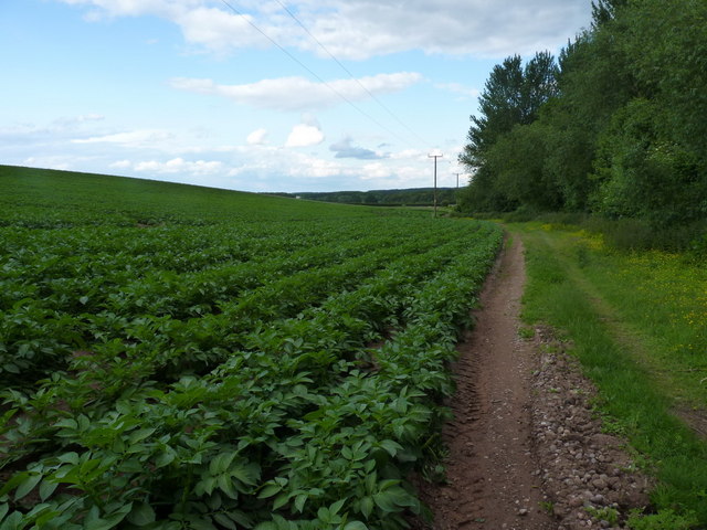
Image: © Richard Law Taken: 11 Jun 2011
The squarish copse to the north of this path alongside the potato field is called The Roundabout; no idea why. The valley that the path run in also forms the boundary between Shropshire Council and the Telford & Wrekin Unitary Authority.
Images are licensed for reuse under creativecommons.org/licenses/by-sa/2.0
Image Location
Latitude
52.730564
Longitude
-2.328408