Furrows at right-angles
Introduction
The photograph on this page of Furrows at right-angles by James Allan as part of the Geograph project.
The Geograph project started in 2005 with the aim of publishing, organising and preserving representative images for every square kilometre of Great Britain, Ireland and the Isle of Man.

There are currently over 7.5m images from over 14,400 individuals and you can help contribute to the project by visiting https://www.geograph.org.uk
Furrows at right-angles
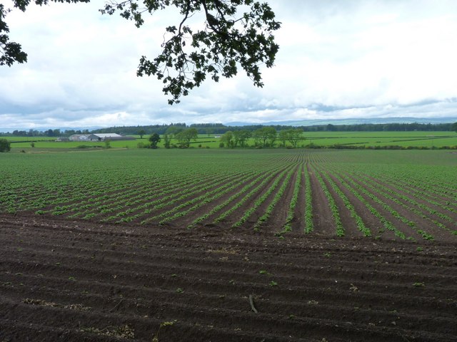
Image: © James Allan Taken: 13 Jun 2011
Geometrical ploughing, with Burnmouth farm in the background.
Images are licensed for reuse under creativecommons.org/licenses/by-sa/2.0
Image Location
Latitude
56.567348
Longitude
-3.128189