Brickhouse access cover, Bangor
Introduction
The photograph on this page of Brickhouse access cover, Bangor by Albert Bridge as part of the Geograph project.
The Geograph project started in 2005 with the aim of publishing, organising and preserving representative images for every square kilometre of Great Britain, Ireland and the Isle of Man.

There are currently over 7.5m images from over 14,400 individuals and you can help contribute to the project by visiting https://www.geograph.org.uk
Brickhouse access cover, Bangor
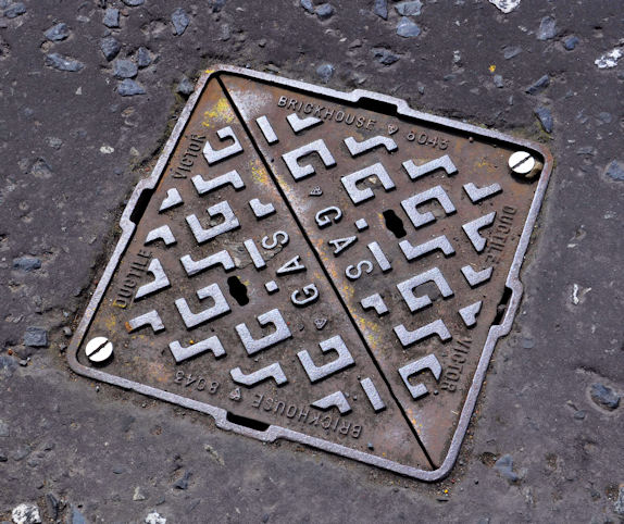
Image: © Albert Bridge Taken: 14 Jun 2011
A Brickhouse “Victor” access cover on a gas main at the Brunswick Road end of the Manse Road. This link http://www.geograph.org.uk/search.php?i=22301408 shows other products, on Geograph, from the same foundry.
Images are licensed for reuse under creativecommons.org/licenses/by-sa/2.0
Image Location
Latitude
54.660439
Longitude
-5.675004