Urban path [1]
Introduction
The photograph on this page of Urban path [1] by Michael Dibb as part of the Geograph project.
The Geograph project started in 2005 with the aim of publishing, organising and preserving representative images for every square kilometre of Great Britain, Ireland and the Isle of Man.

There are currently over 7.5m images from over 14,400 individuals and you can help contribute to the project by visiting https://www.geograph.org.uk
Urban path [1]
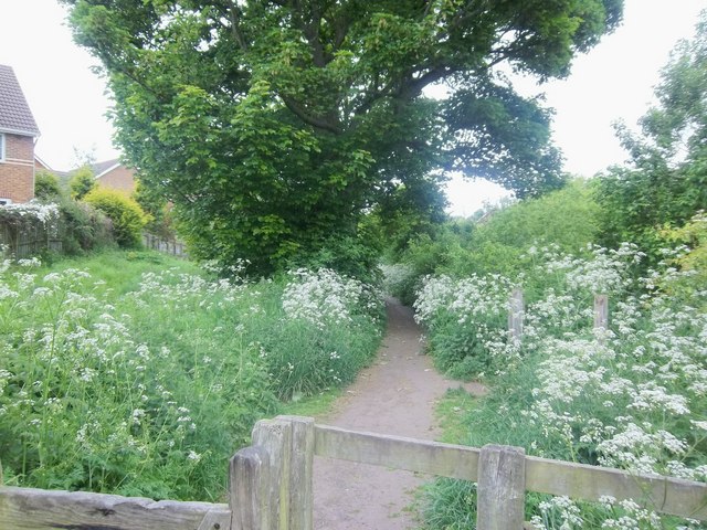
Image: © Michael Dibb Taken: 23 May 2011
As the footpath reaches the edge of the housing estate, it becomes enclosed.
Images are licensed for reuse under creativecommons.org/licenses/by-sa/2.0
Image Location
Latitude
55.411967
Longitude
-1.687873