Harbour View
Introduction
The photograph on this page of Harbour View by Adam Ward as part of the Geograph project.
The Geograph project started in 2005 with the aim of publishing, organising and preserving representative images for every square kilometre of Great Britain, Ireland and the Isle of Man.

There are currently over 7.5m images from over 14,400 individuals and you can help contribute to the project by visiting https://www.geograph.org.uk
Harbour View
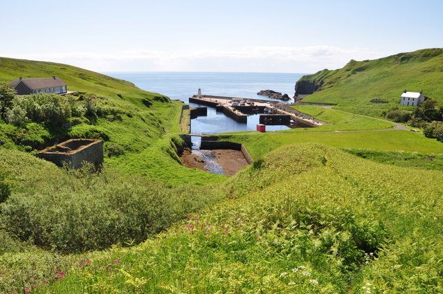
Image: © Adam Ward Taken: 10 Jun 2011
Lybster Harbour from the picnic spot on Shore Road, Lybster.
Images are licensed for reuse under creativecommons.org/licenses/by-sa/2.0
Image Location


Leaflet Map data © OpenStreetMap
Latitude
58.297888
Longitude
-3.290571