Wintertarn
Introduction
The photograph on this page of Wintertarn by Karl and Ali as part of the Geograph project.
The Geograph project started in 2005 with the aim of publishing, organising and preserving representative images for every square kilometre of Great Britain, Ireland and the Isle of Man.

There are currently over 7.5m images from over 14,400 individuals and you can help contribute to the project by visiting https://www.geograph.org.uk
Wintertarn
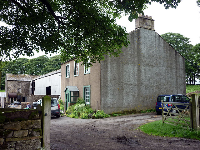
Image: © Karl and Ali Taken: 13 Jun 2011
Farmhouse sheltered by the tree belt beyond from the prevailing westerlies. The name is odd in a limestone upland virtually devoid of standing water perhaps there used to be a tarn in the damp area to the south http://www.geograph.org.uk/photo/2459642
Images are licensed for reuse under creativecommons.org/licenses/by-sa/2.0
Image Location
Latitude
54.547484
Longitude
-2.651867