The Essex Way 147: approaching Church Farm
Introduction
The photograph on this page of The Essex Way 147: approaching Church Farm by Trevor Harris as part of the Geograph project.
The Geograph project started in 2005 with the aim of publishing, organising and preserving representative images for every square kilometre of Great Britain, Ireland and the Isle of Man.

There are currently over 7.5m images from over 14,400 individuals and you can help contribute to the project by visiting https://www.geograph.org.uk
The Essex Way 147: approaching Church Farm
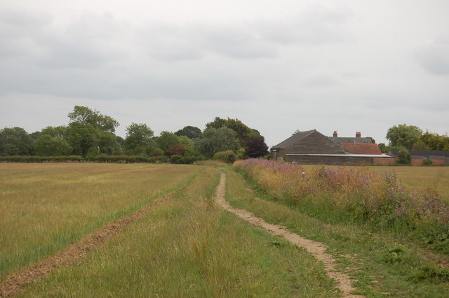
Image: © Trevor Harris Taken: 12 Jun 2011
A way marker indicating the footpath junction here as the Essex Way crosses a north-south footpath. Church Farm, named after St Mary's Church - a few remains of which can be seen - is in the background.
Images are licensed for reuse under creativecommons.org/licenses/by-sa/2.0
Image Location
Latitude
51.936508
Longitude
1.091621