Under the A12
Introduction
The photograph on this page of Under the A12 by Roger Jones as part of the Geograph project.
The Geograph project started in 2005 with the aim of publishing, organising and preserving representative images for every square kilometre of Great Britain, Ireland and the Isle of Man.

There are currently over 7.5m images from over 14,400 individuals and you can help contribute to the project by visiting https://www.geograph.org.uk
Under the A12
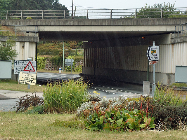
Image: © Roger Jones Taken: 12 Jun 2011
The route under this bridge on the A12 allows local access to and from Bentley and Capel St Mary.
Images are licensed for reuse under creativecommons.org/licenses/by-sa/2.0
Image Location
Latitude
52.004458
Longitude
1.058853