Residential lane in Old Portlethen
Introduction
The photograph on this page of Residential lane in Old Portlethen by C Michael Hogan as part of the Geograph project.
The Geograph project started in 2005 with the aim of publishing, organising and preserving representative images for every square kilometre of Great Britain, Ireland and the Isle of Man.

There are currently over 7.5m images from over 14,400 individuals and you can help contribute to the project by visiting https://www.geograph.org.uk
Residential lane in Old Portlethen
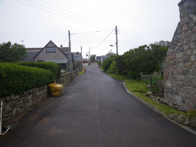
Image: © C Michael Hogan Taken: 11 Jun 2011
Photographer is standing at the edge of the paved lane.
Images are licensed for reuse under creativecommons.org/licenses/by-sa/2.0
Image Location
Latitude
57.056267
Longitude
-2.112911