Arable land near Headlam
Introduction
The photograph on this page of Arable land near Headlam by Maigheach-gheal as part of the Geograph project.
The Geograph project started in 2005 with the aim of publishing, organising and preserving representative images for every square kilometre of Great Britain, Ireland and the Isle of Man.

There are currently over 7.5m images from over 14,400 individuals and you can help contribute to the project by visiting https://www.geograph.org.uk
Arable land near Headlam
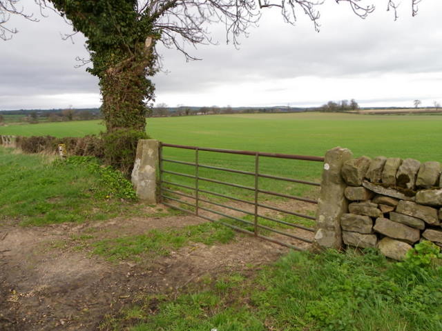
Image: © Maigheach-gheal Taken: 5 Apr 2011
The gate beside Ford Dike Lane gives access to a field planted with a cereal crop which appears to be growing well. On the gatepost nearest to the tree there is an Ordnance Survey bench mark.
Images are licensed for reuse under creativecommons.org/licenses/by-sa/2.0
Image Location
Latitude
54.558631
Longitude
-1.735071