Carr Lane
Introduction
The photograph on this page of Carr Lane by David Spencer as part of the Geograph project.
The Geograph project started in 2005 with the aim of publishing, organising and preserving representative images for every square kilometre of Great Britain, Ireland and the Isle of Man.

There are currently over 7.5m images from over 14,400 individuals and you can help contribute to the project by visiting https://www.geograph.org.uk
Carr Lane
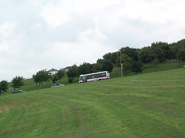
Image: © David Spencer Taken: 7 Jul 2005
The only way from Shipley up to Wrose is via the steep hill of Carr Lane, which crosses the open land shown here. The hill gives panoramic views of Frizinghall, Shipley, Saltaire and Baildon.
Images are licensed for reuse under creativecommons.org/licenses/by-sa/2.0
Image Location


Leaflet Map data © OpenStreetMap
Latitude
53.826928
Longitude
-1.763405