The Mearne Road/St Patrick's Road junction viewed from the west
Introduction
The photograph on this page of The Mearne Road/St Patrick's Road junction viewed from the west by Eric Jones as part of the Geograph project.
The Geograph project started in 2005 with the aim of publishing, organising and preserving representative images for every square kilometre of Great Britain, Ireland and the Isle of Man.

There are currently over 7.5m images from over 14,400 individuals and you can help contribute to the project by visiting https://www.geograph.org.uk
The Mearne Road/St Patrick's Road junction viewed from the west
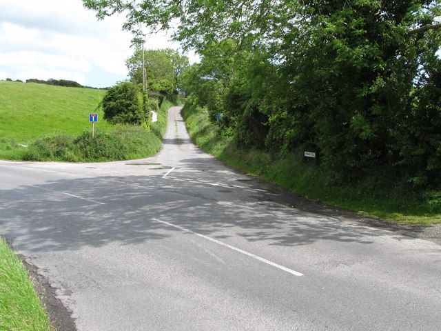
Image: © Eric Jones Taken: 7 Jun 2011
The Mearne Road continues westwards through the village of Saul. Its eastern end at Ballystoke is a cul-de-sac.
Images are licensed for reuse under creativecommons.org/licenses/by-sa/2.0
Image Location
Latitude
54.343512
Longitude
-5.670175