Cow Field (1)
Introduction
The photograph on this page of Cow Field (1) by Simon Carey as part of the Geograph project.
The Geograph project started in 2005 with the aim of publishing, organising and preserving representative images for every square kilometre of Great Britain, Ireland and the Isle of Man.

There are currently over 7.5m images from over 14,400 individuals and you can help contribute to the project by visiting https://www.geograph.org.uk
Cow Field (1)
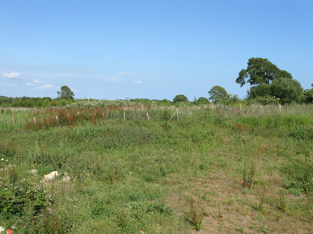
Image: © Simon Carey Taken: 11 Jun 2011
The name of the field according to Wilmington's 1838 tithe map that was until recently home to Greenash Nursery who have vacated the site leaving the field little more than waste at the moment. The original field was split in two by the arrival of the railway in 1846, see Image for the section north of the line.
Images are licensed for reuse under creativecommons.org/licenses/by-sa/2.0
Image Location
Latitude
50.826511
Longitude
0.198561