Path and Lane Junction near Wentworth
Introduction
The photograph on this page of Path and Lane Junction near Wentworth by Jonathan Clitheroe as part of the Geograph project.
The Geograph project started in 2005 with the aim of publishing, organising and preserving representative images for every square kilometre of Great Britain, Ireland and the Isle of Man.

There are currently over 7.5m images from over 14,400 individuals and you can help contribute to the project by visiting https://www.geograph.org.uk
Path and Lane Junction near Wentworth
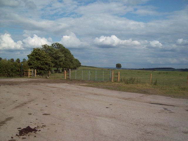
Image: © Jonathan Clitheroe Taken: 11 Jun 2011
Looking in the direction of Wentworth Woodhouse from Coach Road. The area ahead is known as Church Field, presumably due to its promimity to the Holy Trinity church in Wentworth village.
Images are licensed for reuse under creativecommons.org/licenses/by-sa/2.0
Image Location
Latitude
53.474693
Longitude
-1.434827