Farmland above Munlochy Bay
Introduction
The photograph on this page of Farmland above Munlochy Bay by Stuart Logan as part of the Geograph project.
The Geograph project started in 2005 with the aim of publishing, organising and preserving representative images for every square kilometre of Great Britain, Ireland and the Isle of Man.

There are currently over 7.5m images from over 14,400 individuals and you can help contribute to the project by visiting https://www.geograph.org.uk
Farmland above Munlochy Bay
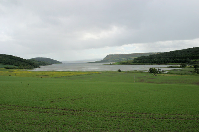
Image: © Stuart Logan Taken: 29 May 2011
Sown with an arable crop this rich land shelves toward the estuary, defined by Woods Hill on the left and Craigiehowe to the south.
Images are licensed for reuse under creativecommons.org/licenses/by-sa/2.0
Image Location
Latitude
57.551933
Longitude
-4.257136