Knapweed near Fovant Hut
Introduction
The photograph on this page of Knapweed near Fovant Hut by Maigheach-gheal as part of the Geograph project.
The Geograph project started in 2005 with the aim of publishing, organising and preserving representative images for every square kilometre of Great Britain, Ireland and the Isle of Man.

There are currently over 7.5m images from over 14,400 individuals and you can help contribute to the project by visiting https://www.geograph.org.uk
Knapweed near Fovant Hut
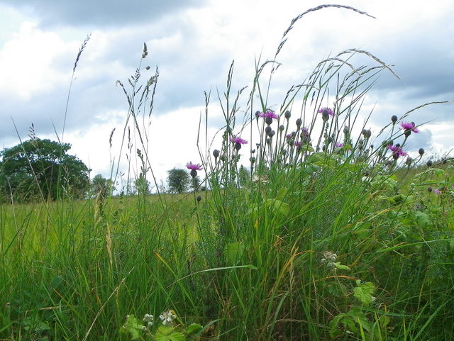
Image: © Maigheach-gheal Taken: 10 Jun 2011
Resembling thistles without prickles, knapweed is widespread in grassland and on roadsides. It has hard, knob-like heads, and in consequence is sometimes called hard-heads. The heads are brown-black and made up of many rows of closely overlapping scales, inside which are red-purple fertile florets. The stems, which are usually swollen and hollow beneath the heads, are wiry, difficult to pick, and unattractive to cattle. This has made the plant a serious weed of grassland in some areas.
Images are licensed for reuse under creativecommons.org/licenses/by-sa/2.0
Image Location


Leaflet Map data © OpenStreetMap
Latitude
51.039926
Longitude
-1.996384