Marina Way, Abingdon
Introduction
The photograph on this page of Marina Way, Abingdon by Des Blenkinsopp as part of the Geograph project.
The Geograph project started in 2005 with the aim of publishing, organising and preserving representative images for every square kilometre of Great Britain, Ireland and the Isle of Man.

There are currently over 7.5m images from over 14,400 individuals and you can help contribute to the project by visiting https://www.geograph.org.uk
Marina Way, Abingdon
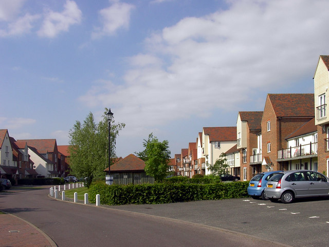
Image: © Des Blenkinsopp Taken: 26 May 2011
A gated cul-de-sac on the Abingdon Marina development which in spite of the name doesn't actually have waterside frontage. This tall warehouse look with varied elevations and rooflines is a typical feature of the Marina Village.
Images are licensed for reuse under creativecommons.org/licenses/by-sa/2.0
Image Location
Latitude
51.658177
Longitude
-1.284797