Boats at Abingdon Marina
Introduction
The photograph on this page of Boats at Abingdon Marina by Des Blenkinsopp as part of the Geograph project.
The Geograph project started in 2005 with the aim of publishing, organising and preserving representative images for every square kilometre of Great Britain, Ireland and the Isle of Man.

There are currently over 7.5m images from over 14,400 individuals and you can help contribute to the project by visiting https://www.geograph.org.uk
Boats at Abingdon Marina
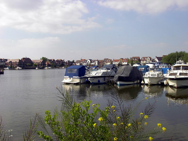
Image: © Des Blenkinsopp Taken: 26 May 2011
Another shot showing the extent of this former gravel pit opened to the Thames as moorings and waterfront housing. The yellow plant in the foreground is Bargeman's Cabbage Brassica rapa subsp. campestris (identified by Mick Crawley)
Images are licensed for reuse under creativecommons.org/licenses/by-sa/2.0
Image Location
Latitude
51.657345
Longitude
-1.281052