Lower Pools
Introduction
The photograph on this page of Lower Pools by David Dixon as part of the Geograph project.
The Geograph project started in 2005 with the aim of publishing, organising and preserving representative images for every square kilometre of Great Britain, Ireland and the Isle of Man.

There are currently over 7.5m images from over 14,400 individuals and you can help contribute to the project by visiting https://www.geograph.org.uk
Lower Pools
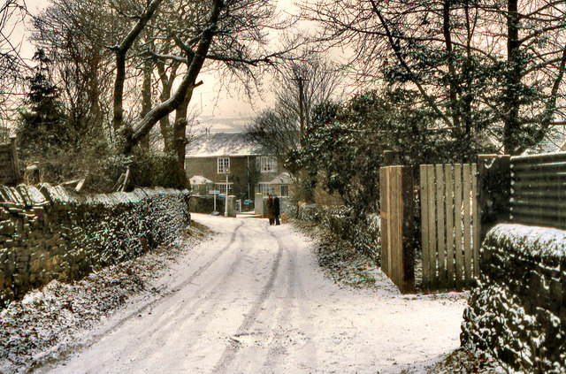
Image: © David Dixon Taken: 1 Jan 1979
The lane leading between Church Road and Oakenclough Drive, along the side of Heaton Cricket Club. (photograph taken on New Year's Day, 1979)
Images are licensed for reuse under creativecommons.org/licenses/by-sa/2.0
Image Location
Latitude
53.592316
Longitude
-2.469217