Motorway bridge south-east of Taunton
Introduction
The photograph on this page of Motorway bridge south-east of Taunton by David Smith as part of the Geograph project.
The Geograph project started in 2005 with the aim of publishing, organising and preserving representative images for every square kilometre of Great Britain, Ireland and the Isle of Man.

There are currently over 7.5m images from over 14,400 individuals and you can help contribute to the project by visiting https://www.geograph.org.uk
Motorway bridge south-east of Taunton
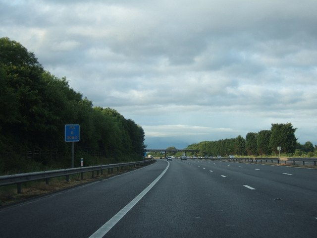
Image: © David Smith Taken: 10 Jun 2011
The trees on the left are part of a band of woodland which screens a housing estate from the noise of the road. Those on the left screen a farm and its houses. The bridge carries a minor road to Haydon from Taunton
Images are licensed for reuse under creativecommons.org/licenses/by-sa/2.0
Image Location
Latitude
51.00614
Longitude
-3.072189